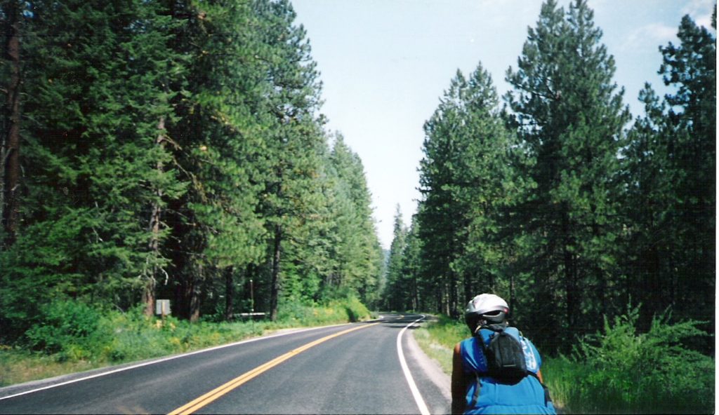
Today’s ride was all about climbing up and out of Hell’s canyon. The ride from the campground started with a grinding pull up to lake level. We saw a sign proclaiming a Bighorn Sheep crossing. We hoped we would see some Bighorn, but weren’t that lucky. The road leveled out and we mostly followed the lake to the Brownlee dam, about ten miles away. We crossed the bridge into Idaho and braced ourselves for the climb.

Entering into Idaho and not a potato in sight!
Unfortunately, the route teased us with moderate to severe rollers. We stopped for breakfast number two (PB&J) and then pressed on to the real climb. It really wasn’t that hard of a climb, but it sure zapped both of us. The twenty some mile descent from the summit into Cambridge, ID was into a stiff, hot headwind.
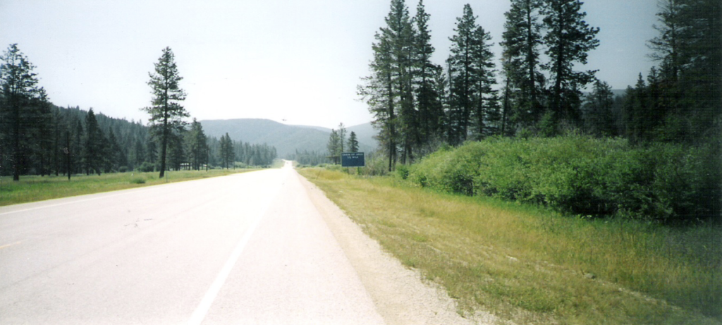
The Road to Cambridge
In Cambridge, we stopped to cool down with our favorite treat. I don’t know if they are available at home, but we’ve discovered Big Ed’s Super Saucer. Basically, they’re two big chocolate chip cookies with ice cream between. Heavenly, I tells ya! We had intended to push on another 22 miles to Council, but sitting under a shade tree at the convenience store, we decided both of us were spent. We’re staying tonight at an RV park behind a motel, where we have a shower and bathroom at our disposal. We got to our site, dug out the ground cloth and both of us slept for probably two hours on the grass. Wonderful! Matt woke me up to go get groceries. Darned kid is always hungry! Spaghetti tonight, with French bread. We just wiped out a can of black olives and Matt ate a frozen burrito. Emphasis on frozen. Eating machines don’t need no stinkin’ microwaves! I also picked up a can of bag balm for the keesters. We’re both needing it and it’s readily available out here!
41.81 miles 10.5 mph avg
Mark and Matt
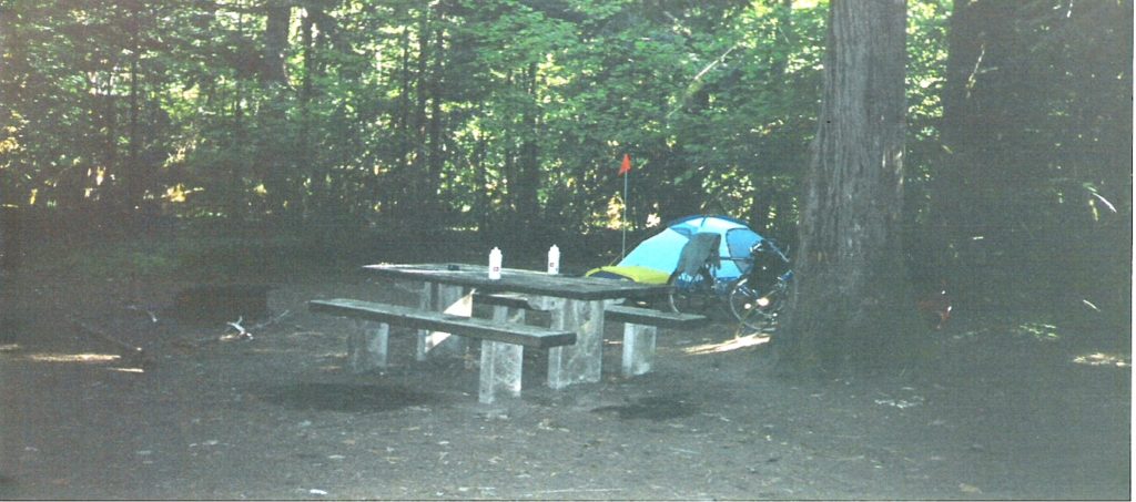
Last night’s campground was pretty good. The previous night in Oxbow, our neighbors were just sleeping out under the stars. We figured “when in Rome” and did the same. Last night in Cambridge, we thought we’d do the same. The only problem was, there was a mercury vapor light on the shower house that came on at dark. This brought out the mosquitos and we were their buffet. That has to be the fastest we’ve set up the tent yet!
We broke camp in good time and got on the road. We hit Council and stopped for a little rest. We continued on to the day’s climb, which was really pretty easy compared to some we’ve done. We stopped again at New Meadows for our lunch of PB&J and to study the maps for our night’s destination.
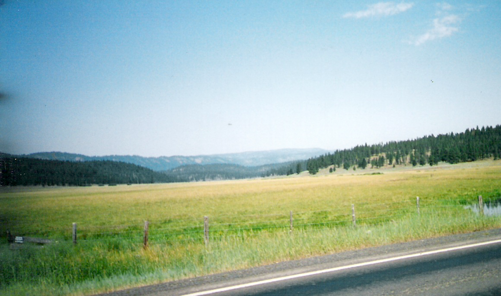
Just outside New Meadows, Idaho
We had 43 miles in and the temp was holding at a decent 86 degrees. We decided to shoot for Riggins, 40 miles away and mostly downhill. We rolled out at a decent pace, but about five miles from New Meadows, we spotted a cyclist ahead. We hammered ahead and got to where we could see it was a touring cyclist! We rolled up on his back wheel and introduced ourselves to him. His name was Reece, from New Zealand.
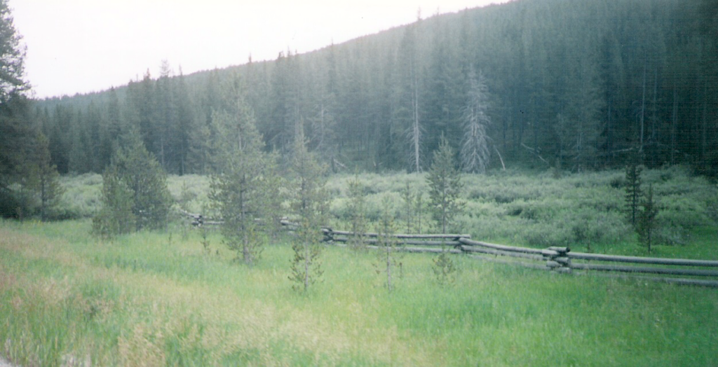
Reece was pulling a home-made trailer that, while simple and ingenious, had broken twice on him already. He had some other problems, as well. He flatted about 8 miles from our destination and while we were fixing that, I noticed he had a broken spoke. He said he knew the wheel was rubbing the brake and needed truing, but had no idea the spoke was broken. He had spares and it was on the non-drive side, so I popped it in for him, tensioned the other spokes that were loose and trued it to the best of my ability on the roadside. Reece was pleased, so I guess I was too. We rolled into Riggins and found our source for the day’s treat. We turned Reece on to Big Ed’s Super Saucers. Yeah, he thought they were great, too. As we sat there, the clouds rolled in, thunder and lightning started and Matt and I decided it was an omen that the laundry mat was at the motel. We went over to the motel, checked in and the sky opened up. Great timing! Another climbing day tomorrow, then we hit the long 77-mile climb up to Lolo pass.
83.06 miles, 12.8 avg.
Mark and Matt
Since we stayed in the motel last night, we had dinner in the restaurant next door. How luxurious! We went back to the motel as the rain started again. I threw our laundry in and gave it a good washing while Matt watched TV. We were glad to see that Lance is wearing yellow again! We got to bed late, but sleep came easy.
This morning we were a little slow. I woke up about the usual time, but could not bring myself to crawl out of bed. When I did, I looked out to see a sky full of clouds. Oh well. I got Matt up and we went next door for a bite to eat. Once fully awake and appetites satisfied, getting on the road became our sense of urgency. Shortly after leaving Riggins, we crossed back out of Mountain Standard time and back into Pacific. I’m so confused, don’t ask ME what time it is! We stopped at a roadside ranger station twenty miles down the road for a PB&J and to refill our water. One of the rangers alerted me to the fact there was an escaped convict in the area. Great! Shortly after the ranger station, we came to the little town of White Bird. It’s off the highway and down in a gorge. Matt and I paused on the bridge passing about 150-200 feet over the town to take a picture.
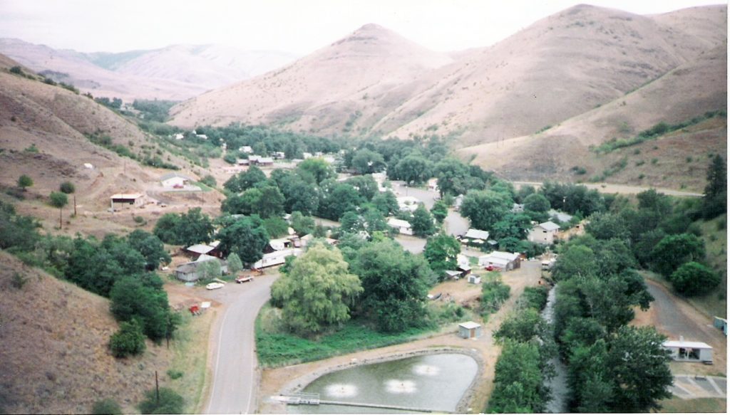
The town of White Bird, Idaho
Mostly, I think the theme of the morning was delaying the inevitable climb ahead of us. As we stood on the bridge looking down on the town, a truck carrying a back-hoe crossed from the other side. It shook the bridge so violently it felt like an earthquake. Matt got a little scared about it, so we moved on to what we had been dreading, White Bird Hill. It looked bad on the map, the locals warned us about it and it lived up to it’s billing. It was 2400 feet of climbing in 7 miles. What made it worse, was the wind. It’s bad enough grinding up that grade, but into a stiff wind like that is murderous. About halfway up, there was a monument to a Nez-Perce battle that took place there.
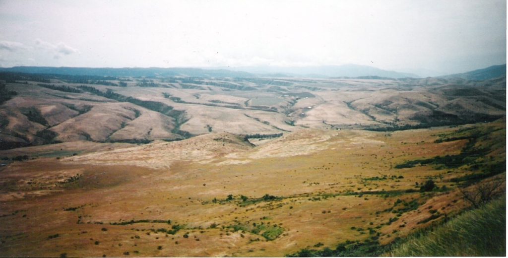
View from the Historical monument. A significant battle took place around the two knobs in the center of the picture.
We stopped and read every single word. We met some nice people from San Diego traveling the country in their RV. They graciously replenished our water for us before pressing on. It crossed my mind to beg a lift to the top, but I thought wiser. Too much like cheating! But, I have to tell you, that wind was tough! I screamed at it (yeah, I know), I cussed it (yeah, I know), I gritted my teeth and sprinted into it until my heart nearly burst. It was nearly maddening, but I was ecstatic to finally see the signs that told me we were near the top.
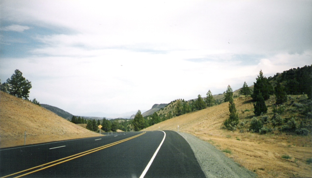
Finally at the top!!!
We pushed on over the summit and down the other side to flatter farm ground. We rode into the wind another 10 miles to Grangeville, where we stopped to rest and refuel the fires. We also stopped at the bike shop downtown to see how they were doing. They were happy to see us and said the same thing we’ve heard other places. Cycle tourism seems to be down this year. We’ve seen only a few since leaving Oregon. Leaving Grangeville, we headed for our overnight stay in Kooskia (pronounced koo-skee). The terrain from Grangeville was rolling hills and a narrow road. Traffic was light, so it was fine. After a few miles, the road became winding, then began descending. Fast! It was a blast rocketing down that road, Matt was laughing out loud. After awhile, it more or less leveled out as it followed the Clearwater river.
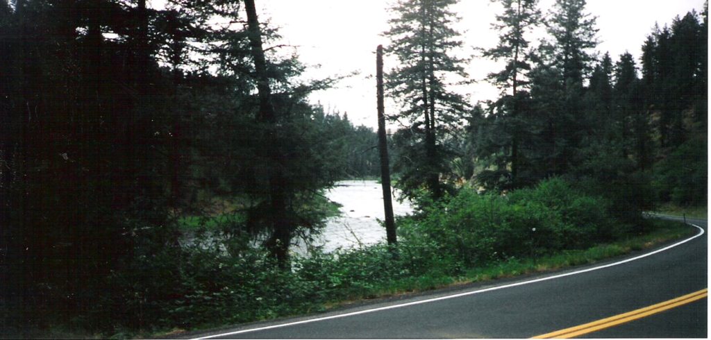
Clearwater River on the Nez Perce reservation
We rolled along, scaring deer out of the bushes at every turn. We entered the Nez Perce
Indian Reservation and continued our gradual descent into Kooskia.
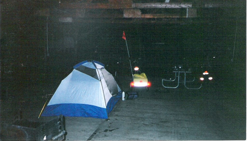
In Kooskia, we camped under the picnic shelter. We took advantage of the barbecue and had a delicious steak. Must have been Nebraska beef!
Camping tonight is in the Lion’s club park. Only a bathroom, no showers, no sink and there’s too much cloud cover for the solar shower. Oh well, guess I’ll have to put up with Matt smelling like a goat for one night! Tomorrow, we climb all day. We begin the seventy some mile climb up to Lolo Pass.
73.63 miles, 11.4 mph avg.
Mark and Matt
This morning was another slow morning getting out of camp. We rolled out of Kooskia and got onto the infamous highway 12. We had heard that the road was winding, narrow and had lots of truck traffic. Most proved to be true, but because we hit it on the weekend, truck traffic was light.
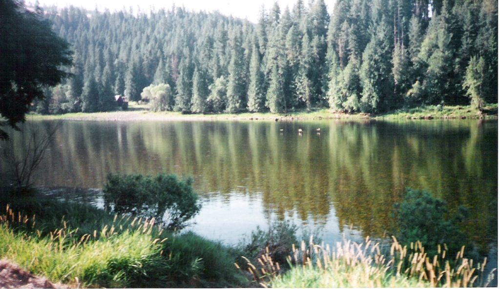
Racing the geese (we lost) on the Clearwater
The grade was actually pretty pleasant. It was basically just river grade with some slightly steeper pulls, some less steep. We rolled along at a pretty good pace, stopping at 25 miles to restock our supplies for the 60 mile pull with no services. We ate, filled our water and checked e-mail. The scenery was breathtaking.

River Crossing
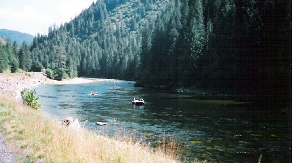
We followed the river all the way, so saw rafters, fly fisherman and all sorts of activity
By 50 miles, we were starting to feel a little less enthusiastic, but stopped at a historic ranger station dating back to the 30’s. We ate a bite, refilled water and headed on up the road At 60 miles, we were beginning to wonder what we were doing.

Bike riding is fun. Bike riding is fun. Bike riding is…
We ceased to have fun about 70 miles. I can’t tell you what we were discussing at 80 miles. We finally hit our destination of Powell at 91 miles. There, we ran into the Adventure Cycling group of 18 people traveling east to west. They’re on the tail end of their trip and most seem to be glad for that. They began in Virginia and will finish in Oregon. We went to secure our campsite, only to discover the campground we wanted was full. I spoke to the host and he found us a place to pitch our tent. He also told us to forget the fee, which was better yet. The lodge above us charged $2.50 for a hot shower. Suckers! After going without a shower/shave last night, I’d have given more! It’s time to get this off and into bed. We climb Lolo Pass tomorrow, then descend into Missoula, where we will take a day off. 92.08 miles, 12.4 mph avg.
Mark and Matt
. Quaint cabin we rode past
OK, I’ve learned my lesson. Never write a ride update when you are tired. We had also talked to some of the Adventure Cycling group and gotten some bad vibes from them. It seems there was some dissention among the ranks. All the weeks on the road from Virginia were taking their toll. Some were whining about KP duty, some of the stronger riders were tired of short days. It sounded like the group was about to splinter. I asked the one gentleman if he’d do a tour like this again and he said only on his own. There were too many personalities and he didn’t like it when it was his turn to grocery shop, cook and clean up for the entire group. I don’t know what it matters. When you’re on your own, you have KP duty every day. Our campsite was right next to Adventure Cycling, yet they were kind of standoffish. Maybe they were tired; maybe they reckoned we were not worthy. I don’t know, but Matt even noticed it. You could attempt to strike up a conversation and they just didn’t have time. Oh well, as hard a day as it was, we did have fun. We probably slept the best we have, yet. Cool mountain air forced us into our sleeping bags. More later….
Mark and Matt
